Services
See how we can help you with your next project
ALTA/NSPS Land Title Surveys
As a professional lender or title company, you may encounter ALTA surveys. Entities use ALTA surveys to gather information required to issue property titles or mortgage insurance. Since an ALTA/NSPS land title survey can take weeks to complete and cost several thousand dollars, typically they are used for commercial properties.
Boundary Surveys
A basic part of owning property is knowing where the boundaries are. Without clear boundaries, arguments will arise, whether it is private property, commercial property, or land for drilling and mining. When there are conflicting views about boundary lines, landowners may need to commission a boundary survey.
Plot Plans
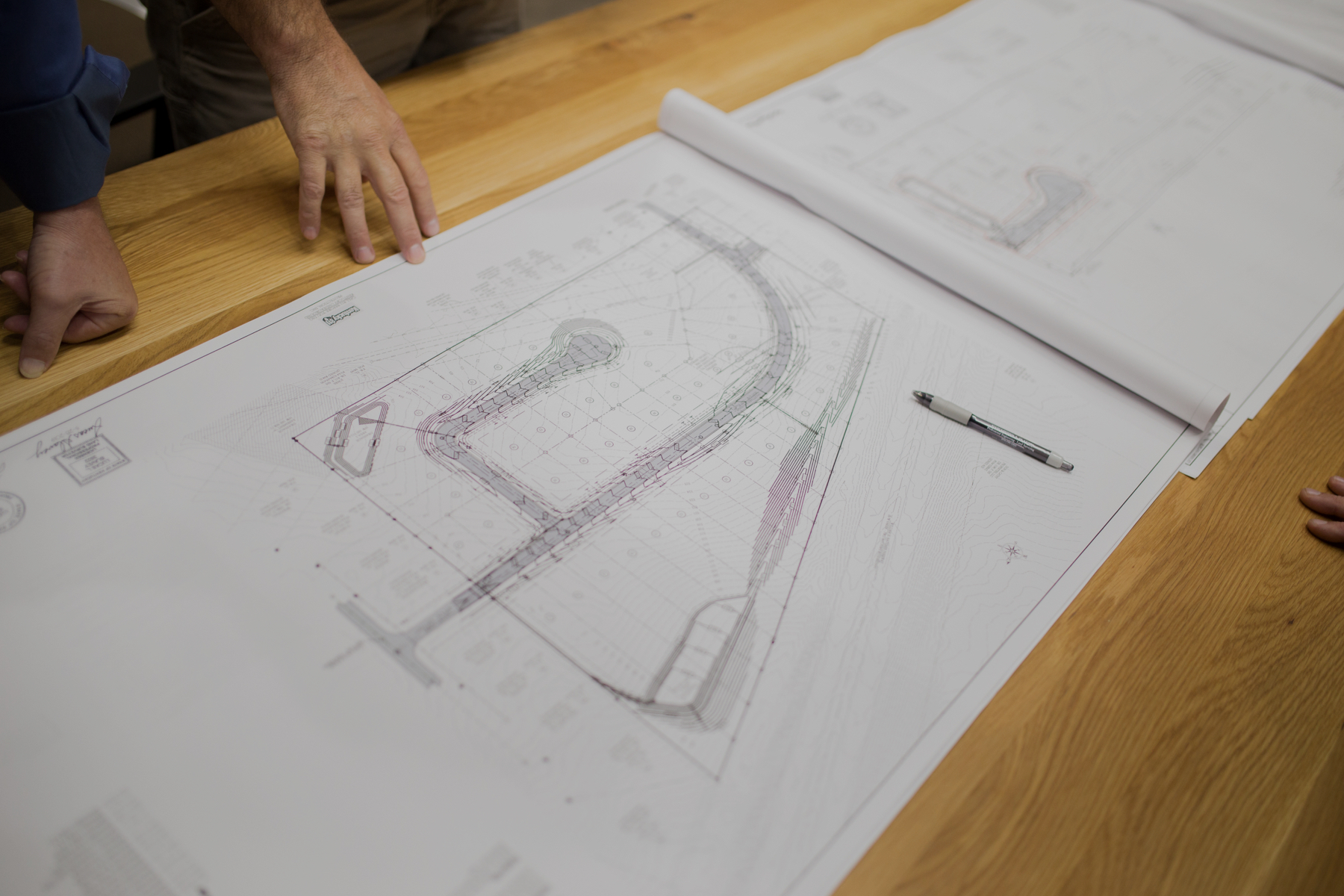
A plot plan is an architecture, engineering, and/or landscape architecture plan drawing—diagram which shows the buildings, utility runs, and equipment layout, the position of roads, and other constructions of an existing or proposed project site at a defined scale. Plot plans are also known more commonly as site plans. The plot plan is a 'top-down' orientation.
Plats
A plat is a map showing the boundaries and other divisions of a section of land, which may also include the monuments found and monuments set on the property. Plats are scale drawings detailing exact dimensions of the parcel of land, which can be as large as a city, and as small as one lot on a city street.
Engineering S.I.T.
A plat is a map showing the boundaries and other divisions of a section of land, which may also include the monuments found and monuments set on the property. Plats are scale drawings detailing exact dimensions of the parcel of land, which can be as large as a city, and as small as one lot on a city street.


