Engineering and surveying from one local office. If you are not sure which service your project needs, the fastest answer is a phone call — 270 799 1001.
Engineering
Site development and feasibility.
E-01Civil Engineering
Site Development Engineering
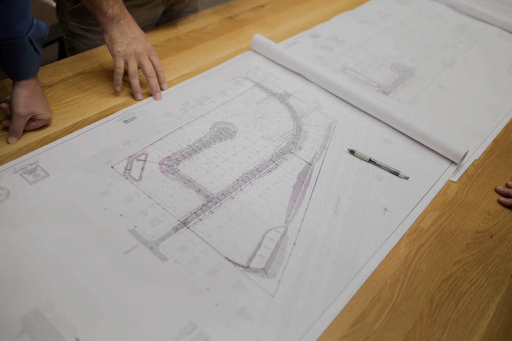
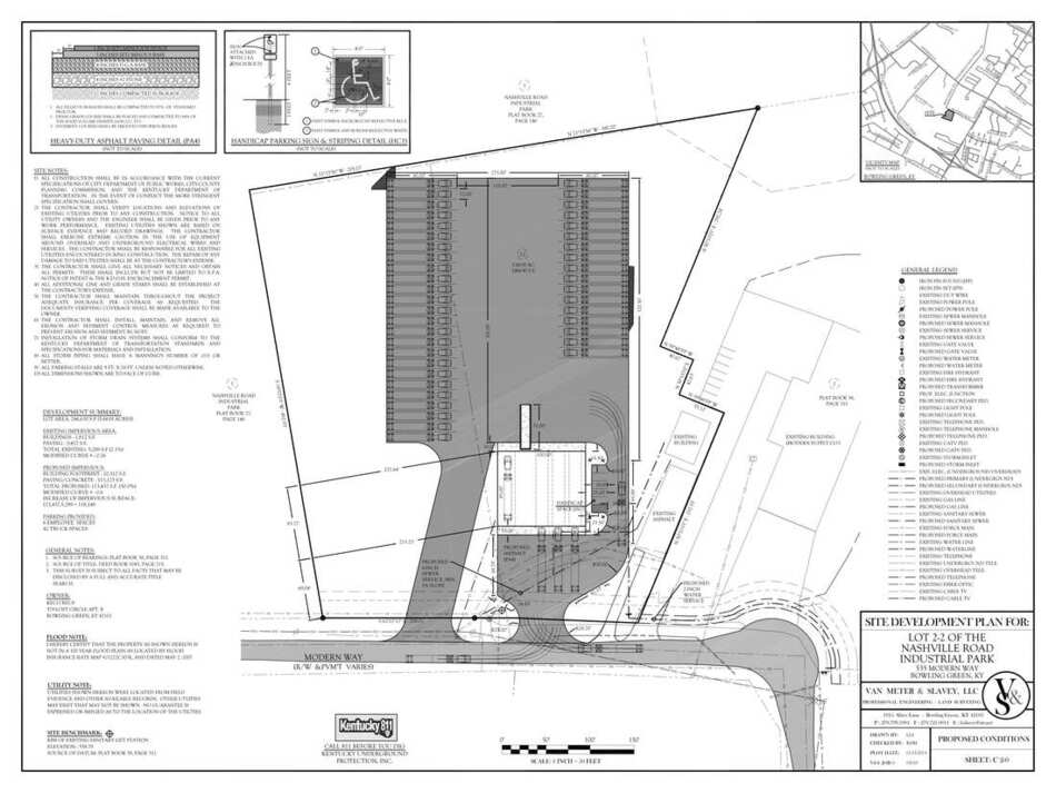
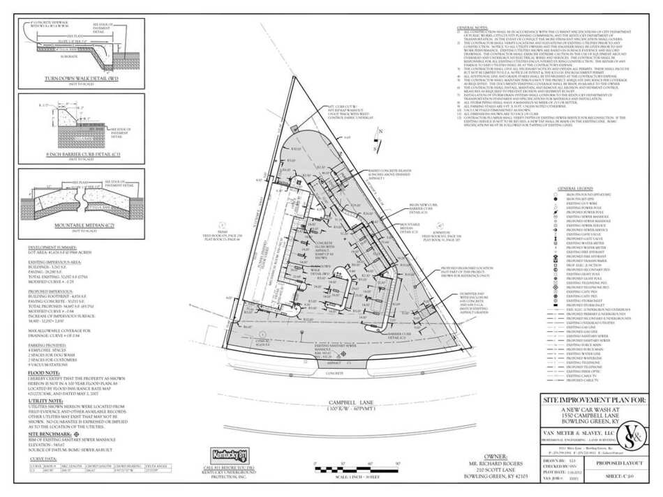
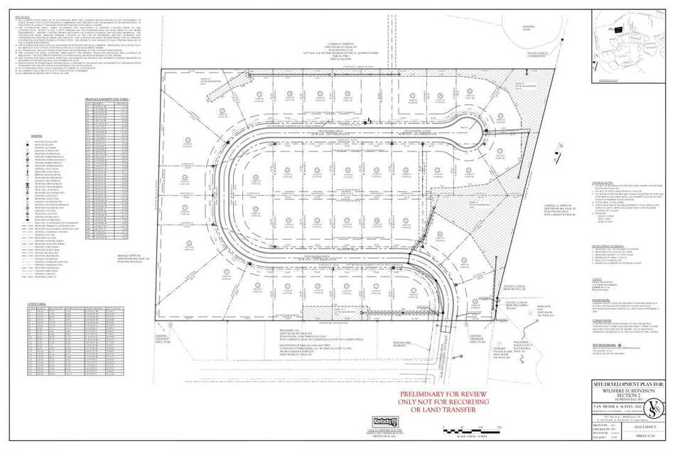
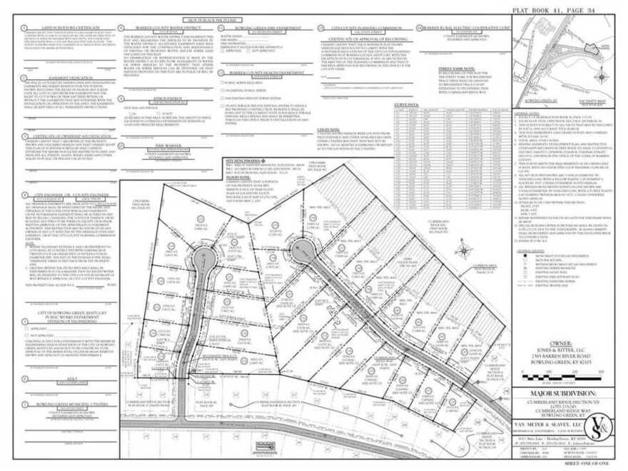
Site development plans for commercial, industrial, multifamily, and single-family subdivision projects, as well as public projects.
We take a site from concept to construction-ready plans. That means working out how the property can be laid out, how water will drain, how utilities and access will connect, and what the city or county needs to see before it approves the plans.
Site layout and grading plans
Drainage and stormwater design
Utility and access coordination
Erosion and sediment control plans
Permit and agency review coordination
Construction-phase support
Because surveying is in the same office, the topography and boundary data your design is built on come from our own crews.
A plot plan is a drawing for permitting purposes. It shows where your proposed improvements, like a new house, addition, or garage, sit in relation to setbacks, easements, lot coverage, flood zones, and silt fence locations. Send us your house, fence, shed, or pool plans and we confirm the project fits your lot.
A plot plan uses the property corners we find but does not confirm those corners are correct. Use a plot plan for permits, additions, and general layout.
Plot plan FAQ
Which one do I need for a building permit?
You only need a plot plan for permitting.
Can a plot plan show my property lines?
It may show found corners, but only a boundary survey confirms them to professional standards.
Can you mark my property corners with a plot plan?
We can mark corners we find, but we do not verify them or set new ones without a boundary survey.
How do you know if the house isn’t over the setback if you can’t verify the corners?
For a plot plan, we use found corners to measure setbacks. This is adequate for permitting. A boundary survey is needed to verify the corners.
What if I want to stake a fence?
With a plot plan, we can stake it a safe distance inside the corners we find. If you want it directly on the line, you’ll need a boundary survey.
Structures · Fences · Parking lots · Utilities · and more
S-02Surveying
Construction Staking
We stake structures, fences, parking lots, utilities, and more, so your contractor builds where the plans say. We typically stake within 24 hours of your call.
A boundary survey is our professional opinion of where your property lines are located. We retrace or reestablish the lines using deed research, prior surveys, field measurements, and evidence found on the ground. It meets the standards of practice required by law. Like all surveys, it has a small margin of error and does not establish ownership, but it provides the best available evidence of your property limits.
We perform boundary surveys of every type, including residential, commercial, and industrial properties. For residential subdivision lot surveys, we offer flexible options to complete the work within one week. If a job needs more time, we give you a timeline we are confident we can meet. Use a boundary survey for fences on the line, property disputes, property sales, and peace of mind.
Boundary survey FAQ
Why is a boundary survey more detailed than a plot plan?
Because it retraces the original surveyor’s steps, considers gaps or overlaps, and identifies potential encroachments or conflicts. It provides a documented record, though like all surveys, it may or may not be upheld in court.
What if I want my fence directly on the property line?
You’ll need a boundary survey. With only a plot plan, we can stake a fence a safe distance inside the corners we find.
S-04Surveying
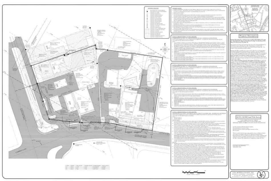
ALTA/NSPS Land Title Surveys
Used by lenders and title companies when insuring title and mortgages, typically for commercial properties.
An ALTA/NSPS Land Title Survey follows the Minimum Standard Detail Requirements jointly adopted by the American Land Title Association and the National Society of Professional Surveyors. It includes boundary work, and it also shows how the property relates to the matters in the title commitment, so the lender and title company can review them. The survey is certified to the parties named in the request, such as the buyer, lender, and title insurer.
A survey like this can include:
The property boundary and the record legal description
Buildings and other improvements, including those along the boundary lines
Easements and other recorded matters from the title commitment
Potential encroachments we observe, without a legal opinion on ownership
Access to public streets
Observed evidence of utilities
Flood zone classification, zoning information you provide, and other optional Table A items, when requested
The client requests the survey and selects any optional items, called Table A items, usually based on what the lender or title company requires. The request needs to specify the ALTA/NSPS survey and the Table A items wanted, and it needs written authorization from whoever is paying for the survey. We also work from the title commitment, so send it to us at the start.
ALTA/NSPS survey FAQ
Who asks for an ALTA/NSPS survey?
The buyer or borrower orders it, usually because a lender or title company requires it for a commercial purchase or refinance. They can tell you which Table A items they want.
What do you need from me to start?
The title commitment, the lender or title company’s survey requirements and Table A items, the property address, the recorded documents listed in the commitment, any prior surveys you have, and written authorization to proceed. We also need permission to enter the property.
Is it the same as a boundary survey?
No. It includes boundary work, but it follows a more detailed national standard and shows more, such as the easements and other matters in the title commitment and the improvements along the boundary.
How long does it take?
It depends on the size of the site and the Table A items requested. Call us with the details and we will give you a timeline we are confident we can meet.
We handle building, fence, shed, pool, paving, and site work permits with the City of Bowling Green and Warren County. We complete the application the way the city and county want it, so approvals come faster. We file hundreds of permits every year, and we also handle permitting for our own engineering and surveying projects.